Collect
Satellite observations are used to monitor atmospheric trace gases associated with air quality and climate impact.
About the project
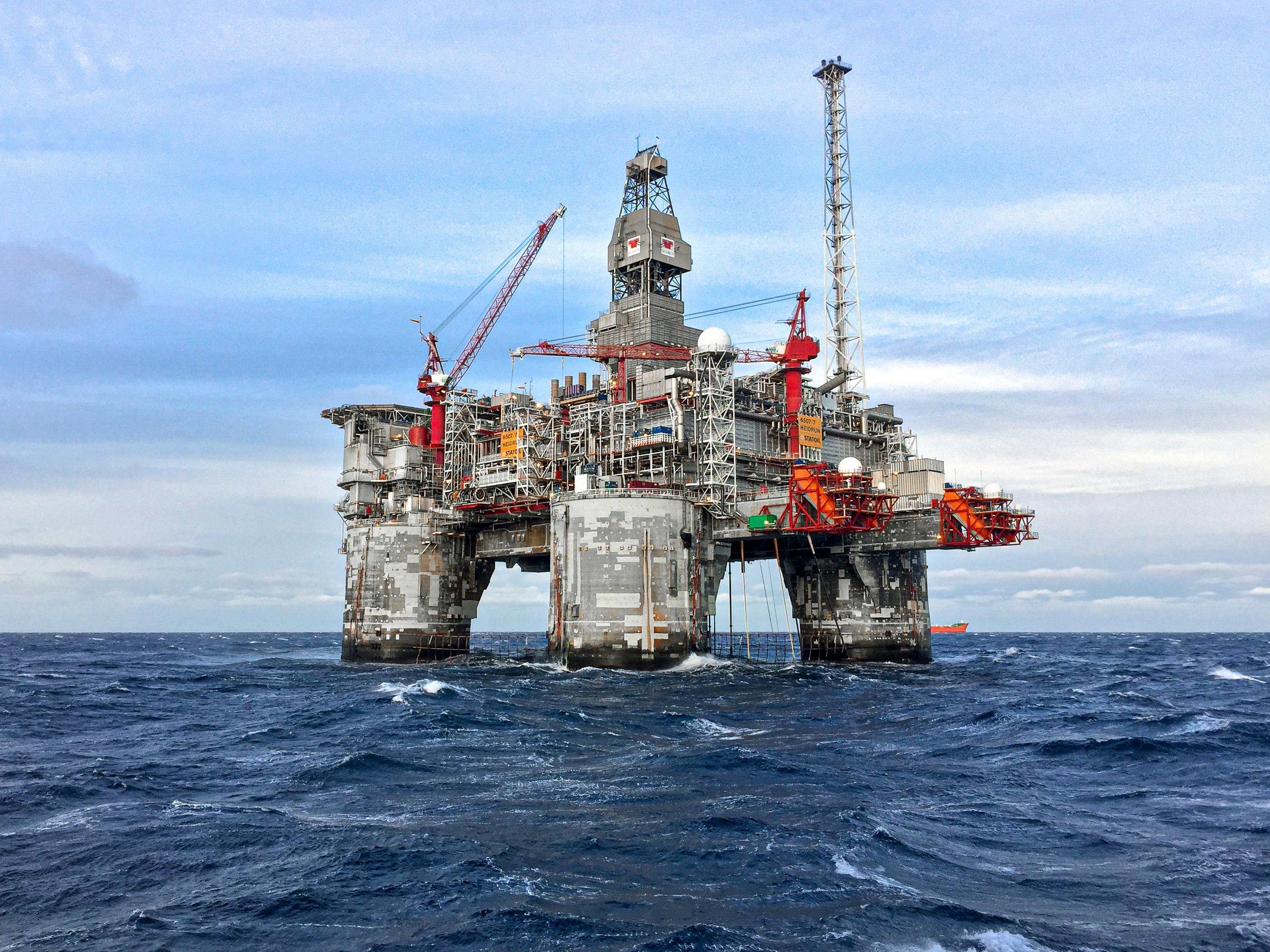
SET is a student project designed to track methane (CH4) and nitrogen dioxide (NO2) across selected Petroleum Development Oman concession fields using remote sensing data and field coordinates.
Purpose
The project demonstrates how satellite-based air quality data can support environmental oversight in the energy sector. It connects satellite observations, field locations, and visual dashboards to make emission patterns easier to understand.
SET supports the direction of Oman Vision 2040 by encouraging data-driven thinking around sustainability, climate impact, and the national ambition of reaching Net Zero Emissions by 2050.
CH4 and NO2 monitoring for PDO concession fields.
How it works
Satellite observations are used to monitor atmospheric trace gases associated with air quality and climate impact.
PDO field coordinates are plotted to provide geographic context for methane and nitrogen dioxide monitoring.
Data views and an interactive map help communicate the monitored locations, gases, and satellite method clearly.
Monitoring scope
Methane is a powerful greenhouse gas. Monitoring it helps identify spatial patterns that may require further operational or environmental review.
Nitrogen dioxide is an important air quality indicator. Tracking NO2 supports awareness of atmospheric conditions around field operations.
The project references Sentinel-5P and TROPOMI for daily atmosphere monitoring and trace gas observation.
Field coverage
The current field list includes Yibal, Lekhwair, Fahud, Qarn Alam, Zuliya, Bahja, Nimr, Marmul, RTQ, and Harweel.