
Student environmental monitoring project
Satellite Emission Tracking
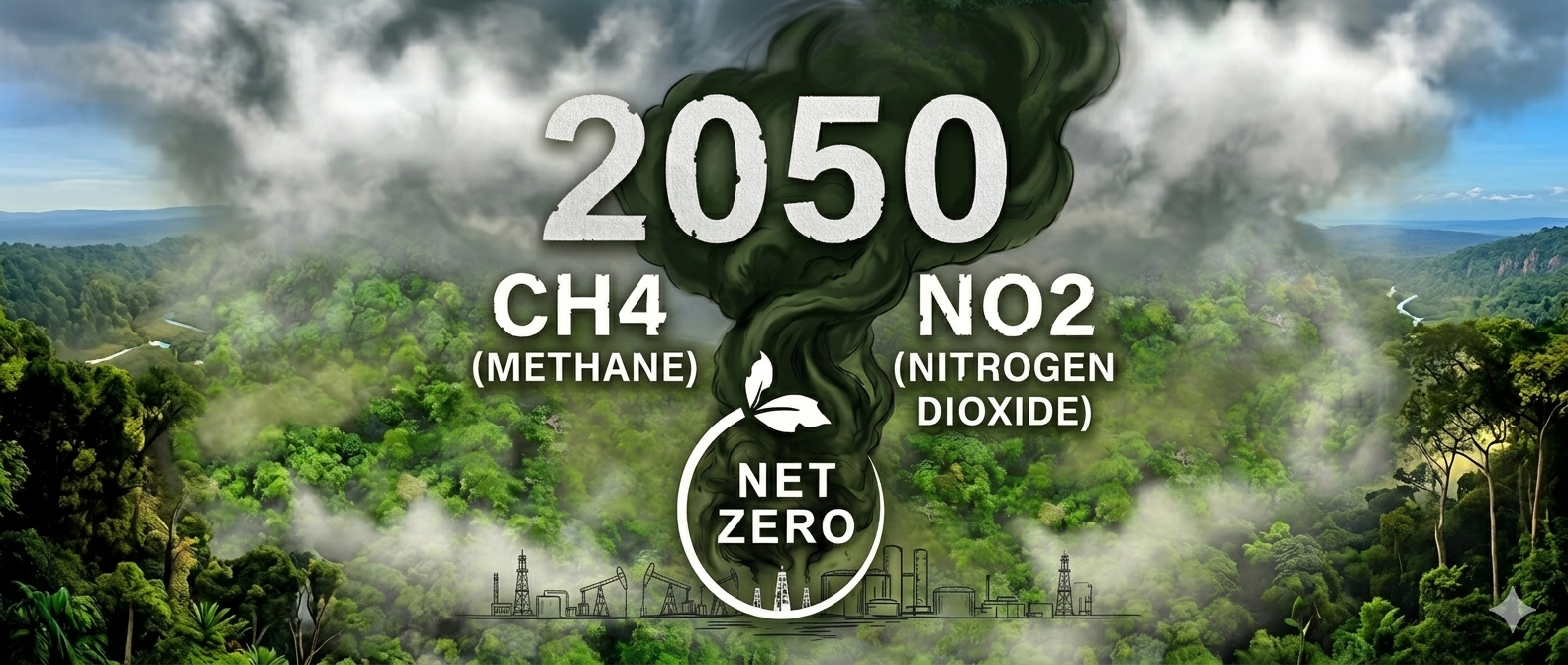
Monitoring methane (CH4) and nitrogen dioxide (NO2) across PDO concession fields using satellite imagery and remote sensing.
Overview
Atmospheric insight for cleaner energy operations
This program is dedicated to monitoring methane (CH4) and nitrogen dioxide (NO2) levels within Petroleum Development Oman concession areas using advanced satellite imagery and remote sensing technologies.
By providing precise spatial analysis of atmospheric emissions, the initiative supports Oman Vision 2040 and the national strategic goal of reaching Net Zero Emissions by 2050.
CH4
Methane
A high-impact greenhouse gas monitored to identify emission patterns around field operations.
NO2
Nitrogen Dioxide
An air quality indicator tracked to support environmental oversight and operational awareness.
Interactive field network
PDO concession monitoring locations
Field points are plotted from the provided latitude and longitude coordinates. Select any location to view its monitoring details.
Satellite system
Sentinel-5P atmospheric monitoring
Sentinel-5 Precursor is a dedicated atmosphere monitoring satellite launched as part of the European Copernicus programme to support the Copernicus Atmosphere Monitoring Service.
Equipped with TROPOMI, the satellite detects trace gases including methane, nitrogen dioxide, carbon monoxide, sulfur dioxide, and ozone, delivering satellite-based air quality data with high spatial resolution.
Strategic alignment
Supporting Oman Vision 2040 and Net Zero 2050
SET turns satellite observations into a focused environmental oversight layer for energy operations, helping students explore how data-driven monitoring can support climate action and sustainable decision-making.
Project media
Visual materials and concept presentation
 Energy operations context
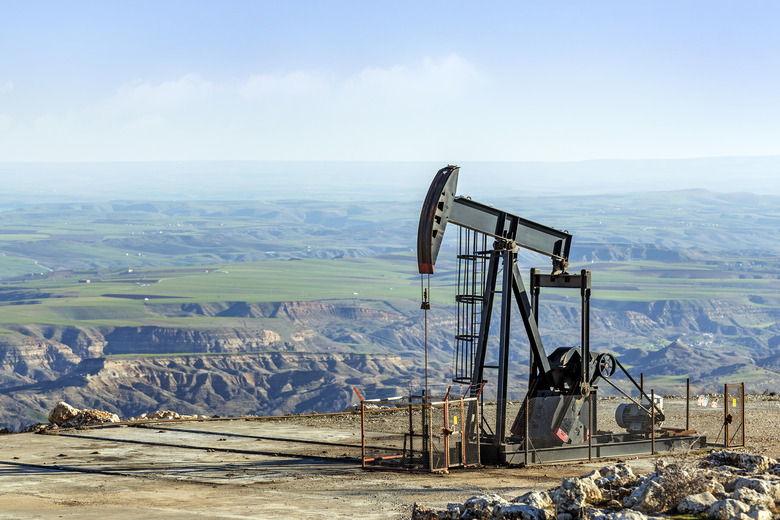 Field production site
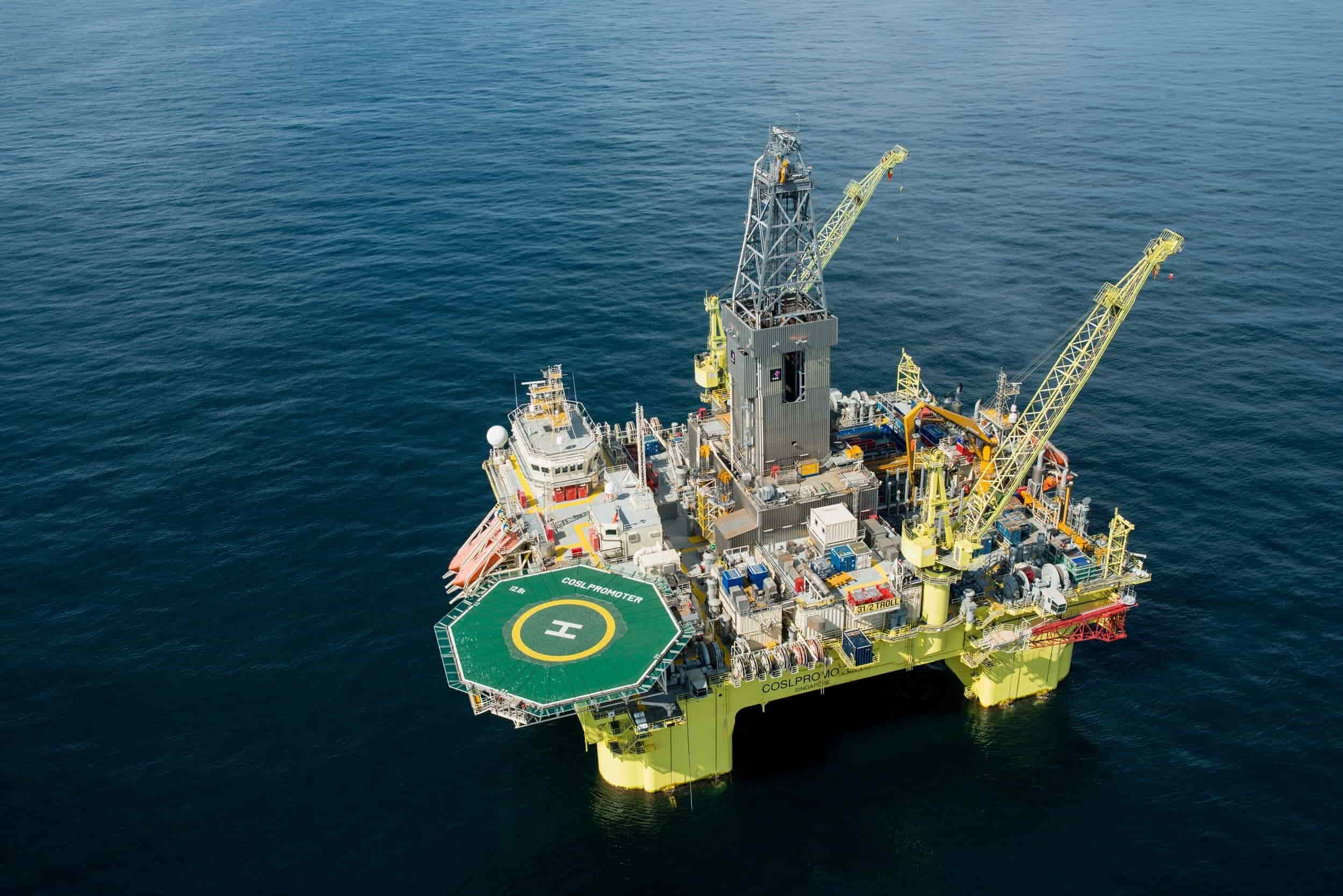 Operational monitoring zone
Presentation
Satellite monitoring concept video
A short presentation can be used to introduce the purpose of the project, the satellite method, and the environmental value of monitoring CH4 and NO2.